The island of Samloem lies in the gulf of Thailand 20km west of Kampong Som (Sihanoukville) province, within the Indo-Burma biodiversity hotspot. 9km long, 4km wide and only 1km wide at its narrowest point, the island is densely covered by jungle forest, grasslands, mangroves, marine habitats and many other habitats which are critical for supporting the islands and its wide range of inhabitants.
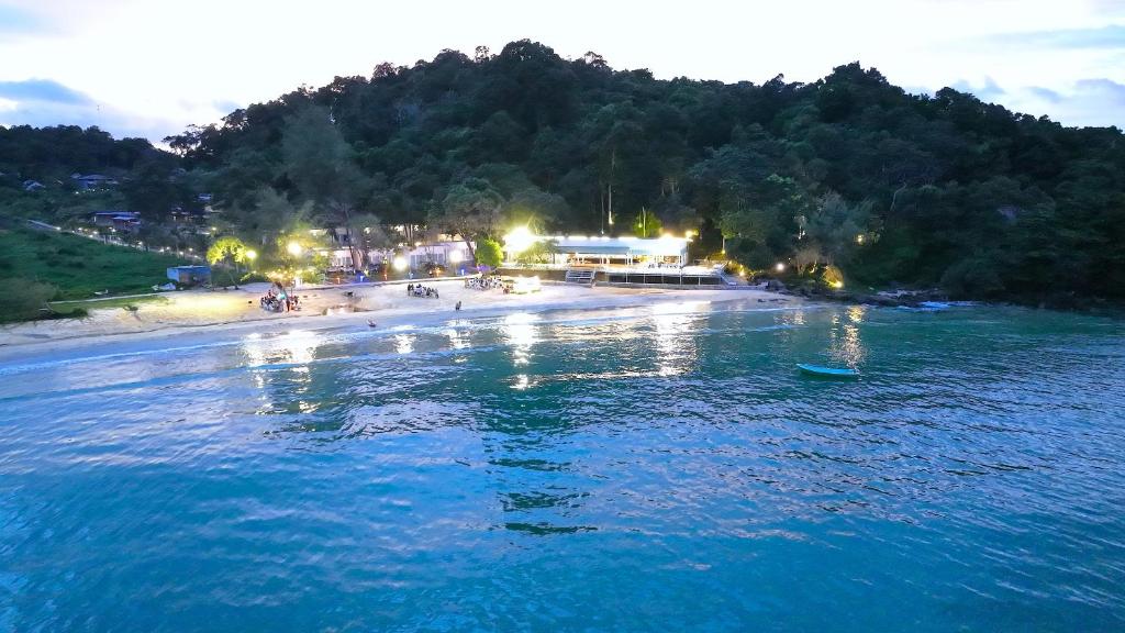
The name Koh Rong Sanloem translates to ‘Far out Koh Rong’ and resembles it’s larger sister island Koh Rong. It’s largest beach ‘Saracen Bay’was named after the British survey brig ‘The HMS Saracen’ and is 3km of white sandy beach largely comprised of finely ground coral produced from the diet of parrotfish. On the west side three yellow sandy beaches; Sunset named after it’s perfect sunset view at dusk, Lazy beach which was the first established resort on the island and military beach respectively named after the Navy base established there.
During the time of the French protectorate which began around 1867, they colonized the island of Samloem and erected a lighthouse (which still stands today) to protect mainland Cambodia from any Navy attack. Since then Samloem has been visited by SS Mayaguez a U.S container ship during the time of the Khmer Rouge and in the late 19th century was visited by the British survey brig HMS Saracen giving Saracen bay its name.
Excluding all resorts, the island supports two local tribes and the Cambodian Navy which administers all fishing licenses and land rental agreements on the island. The locals living in the fishing village M’pai bei (North of the island) and phumi kang khnong (Southside by the lighthouse) were restricted on the island with no rice fields or markets to purchase basic foods. They lived off the land and the sea, hunting mammals, fish and birds to the point few species remained. Muncjac deer and wild pigs are believed to have existed before their demise, but since the presence of tourism around 2009 oriental pied hornbills have returned, raptor populations increased and secretive species have been sighted around the island. The remarkable come back from overexploitation indicates the high biodiversity in the area and that the archipelago is a high biodiversity pathway.
Since the establishment of several government and non government organisations, many surveys being conducted around the Koh Rong Archipelago and results have indicated it is a critical ecosystem for both ecology and the community.
In June 16th 2016 the largest marine protected area (MPA) in Cambodia was officially established thanks to the efforts of; The fisheries administration, Fauna & Flora international, Song saa foundation and Save Cambodian Marine life. WWS and The Diveshop Cambodia have facilitated these goals by establishing mooring blocks to prevent trawling in high productivity areas as well as to reduce boat traffic at dive sites and coral destruction caused by anchors. This marks a change for destructive practices and fishing methods around the island.
© 2019 រក្សារសិទ្ធគ្រប់យ៉ាង
![]()